Home
About Us
Services
Projects
News & Updates
Contact Us
×
Home
About Us
Services
Projects
News & Updates
Contact Us
Services
01
Mineral Exploration
Evaluation
Geological Mapping
Surface geological mapping and lithological characterization
Structural geology analysis and interpretation
Stratigraphic correlation studies
Geochemical Surveys
Stream sediment and soil geochemistry
Rock chip and channel sampling programs
Geophysical Surveys
Ground magnetic and induced polarization (IP) surveys
Resistivity and ground penetrating radar
Subsurface Surveys (drilling/test pitting)
Exploration Management
Comprehensive project planning and execution
Contractor supervision and QA/QC management
GIS Data Management
CP Exploration Resource Report
02
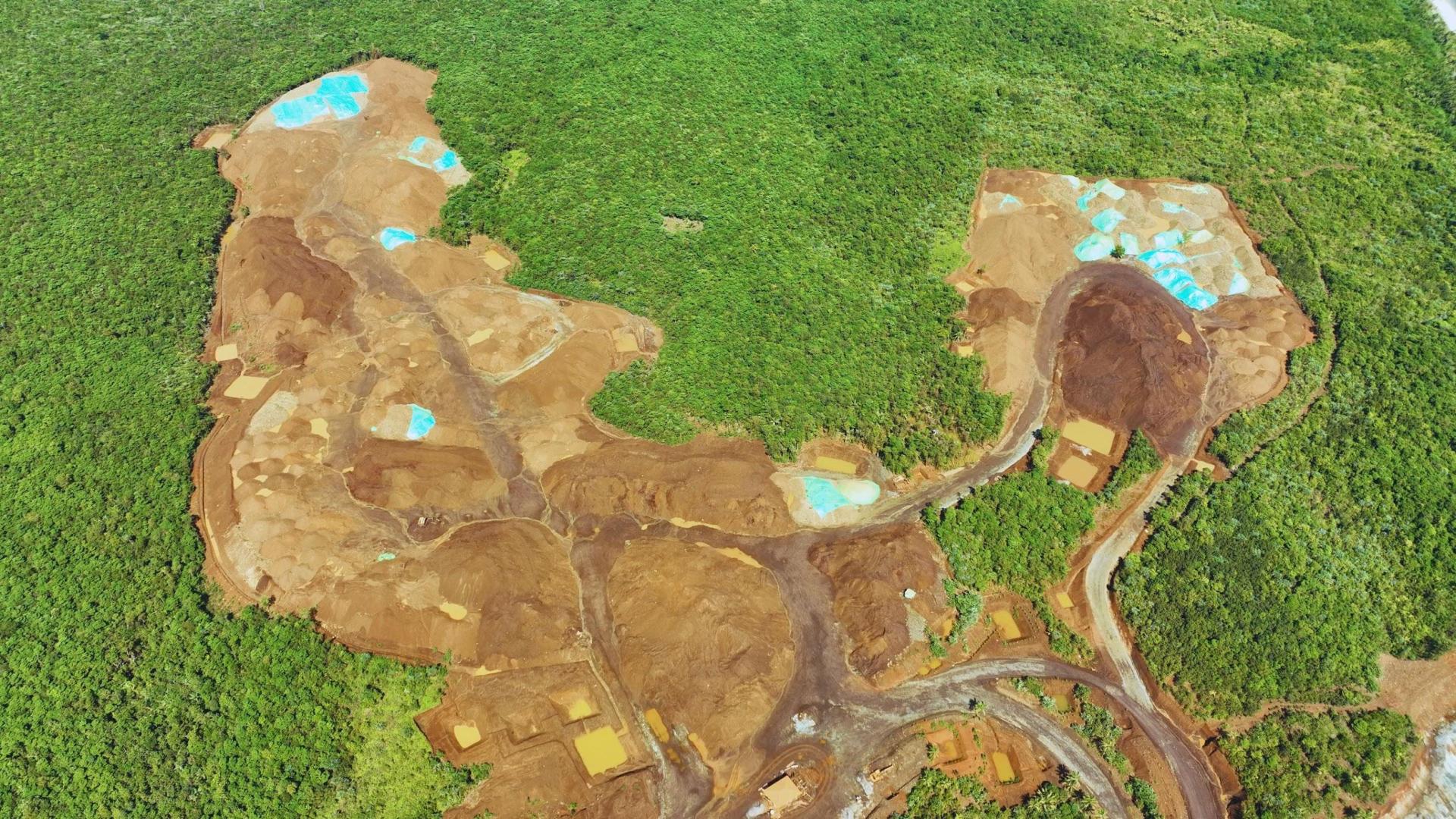
Environmental Impact
Studies
Project Description
Comprehensive overview of project scope and footprint
Groundwater profiling
Aquifer characterization and quality assessment
Hydrogeological baseline studies
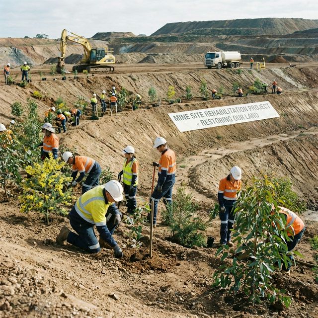
Environmental Impact Assessment
Baseline environmental surveys and monitoring
Impact identification and mitigation planning
Requirements for ECC Application
03
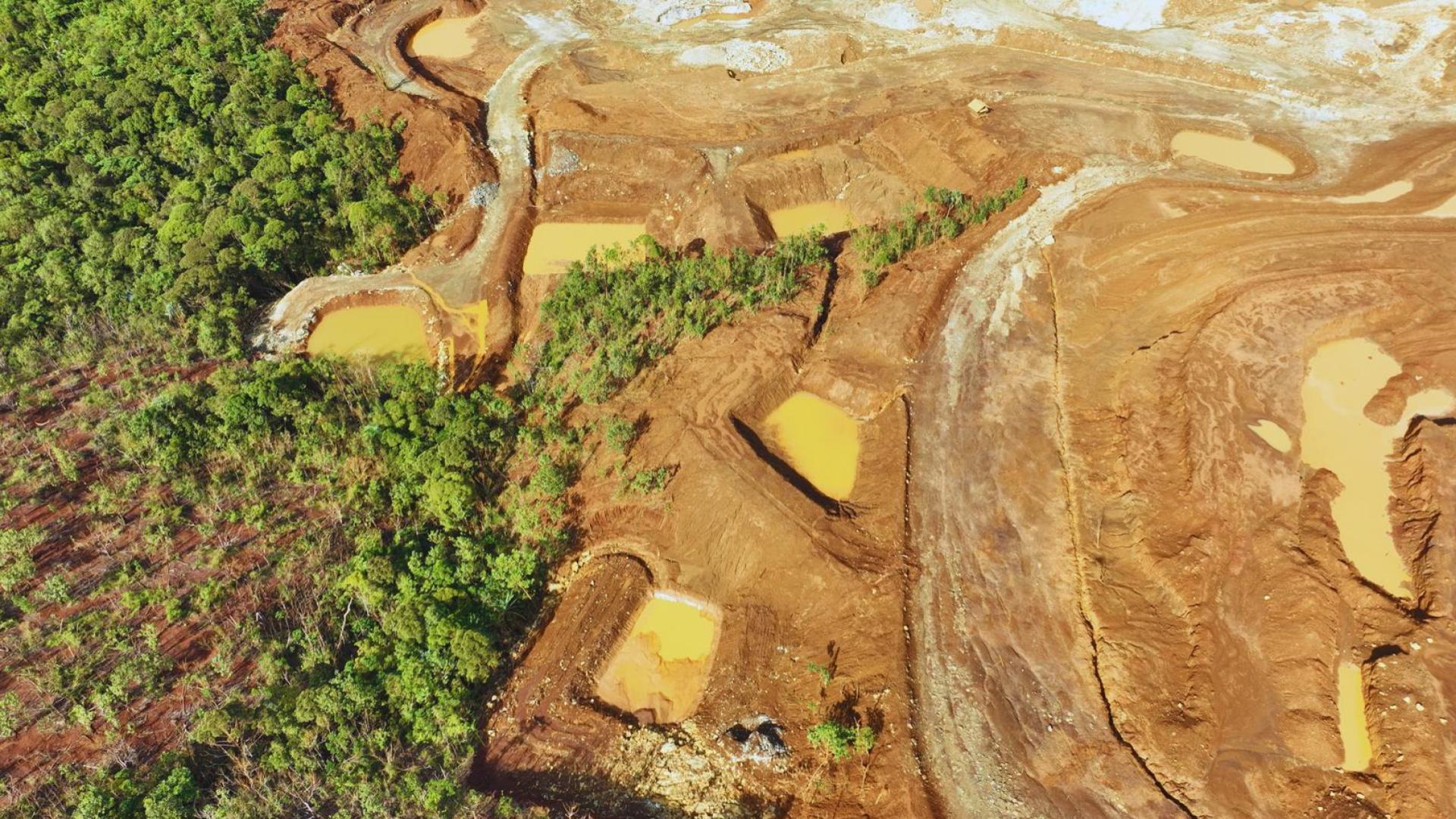
Geological Hazards
and Risk Assessment
Geological Mapping of proneness, Vulnerability and risk of particular area to geological hazards
Generation of Geological Hazard Maps
Landslide and flood susceptibility mapping
Seismic hazard assessment
Studies for urban planning and zoning
Geotechnical site investigations
Terrain analysis for infrastructure development
Evaluation of Landfill Sites.
Geohazard Identification Report (GIR)
04
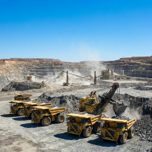
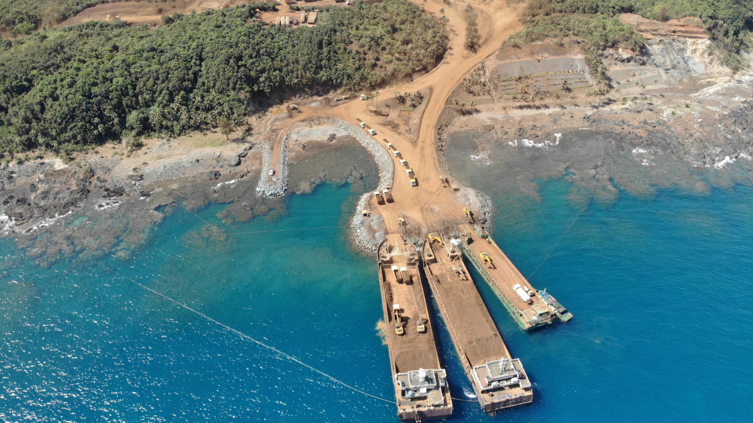
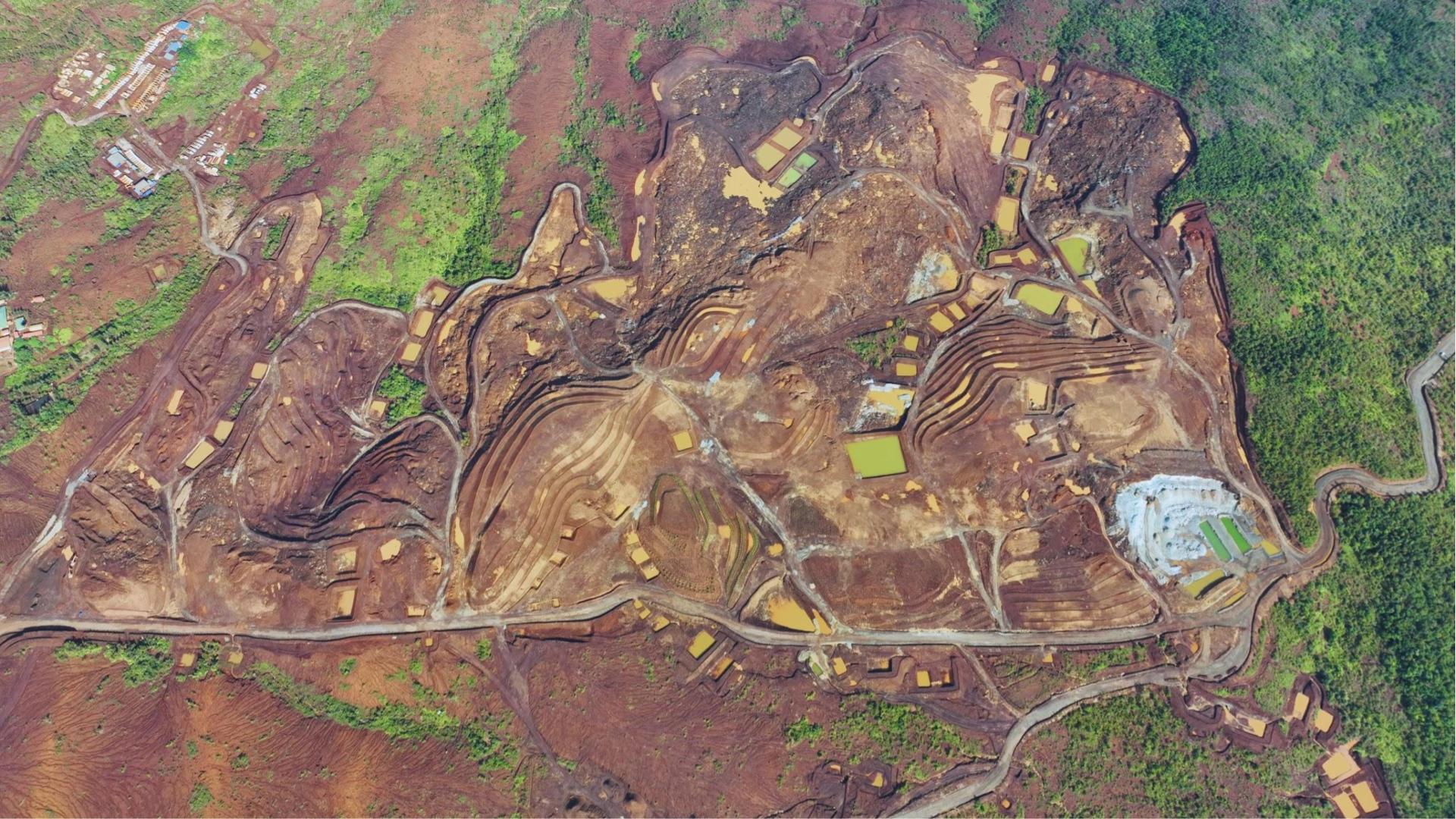
Mine Development
and Downstream Processes
Resource/Reserves Modeling and Estimation
3D geological modeling and block model generation
Geostatistical analysis and grade estimation
EPEP/SDMP/FMRDP
Environmental Protection and Enhancement Programs
Social Development and Management Programs
Mine Planning and Pit Design Optimization
3-year Work program
Preparation of Production Schedule, Equipment Requirement
Evaluation of Mineral Processing Specific to Project
Metallurgical testwork oversight
Process flow sheet development
Feasibility Studies